The Challenge
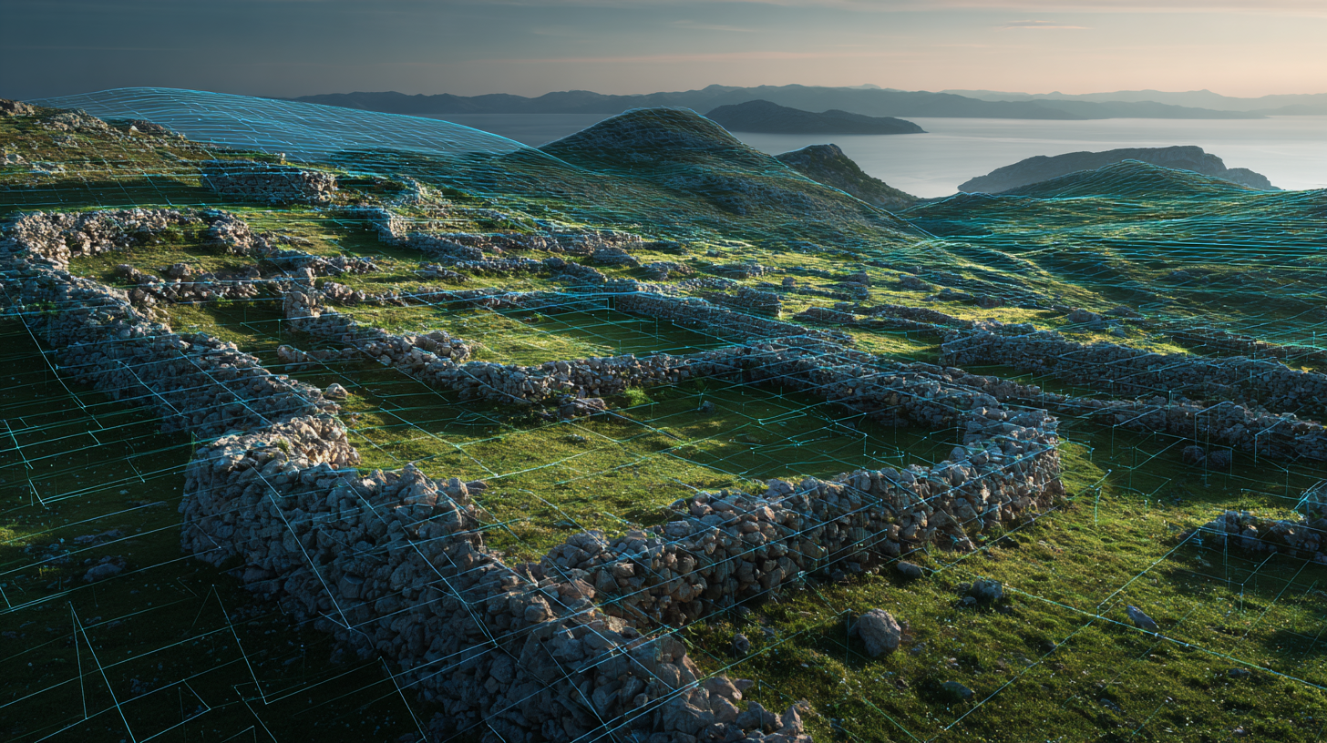
Dry stone walls are a vital part of cultural heritage, but mapping them is a slow, labor-intensive process that relies on manual interpretation of aerial or LiDAR data. A cultural heritage research craft sought to determine if AI could automate this task.
The core technical challenge was immense: dry stone walls appear as faint, irregular, and often broken lines in noisy, low-contrast LiDAR imagery, making them extremely difficult for standard object detection models to identify.
The Technical Solution
A prototype was developed to test the feasibility of this novel application, using a specialized computer vision approach.
- Oriented Bounding Box (OBB) Detection: Due to the long, thin, and angled nature of the walls, standard bounding boxes were insufficient. The solution utilized a YOLOv11 model with OBB support, allowing it to accurately capture not just the position but also the precise rotation and orientation of each wall segment.
- Custom High-Resolution Dataset: The model was trained on a unique, purpose-built dataset containing thousands of hand-annotated examples from hundreds of LiDAR images. Training was performed on high-resolution (1280px) images to retain the subtle textural details crucial for detection.
- Targeted Classification: Through experimentation, it was found that the most robust results were achieved by training the model to identify all types of dry stone walls as a single, unified class.
Results and Impact
The project successfully proved that, despite the difficult data, AI can be used to detect these complex heritage structures.
- Established a Performance Baseline: The prototype demonstrated a strong foundational ability to learn the visual characteristics of dry stone walls, providing a solid, measurable starting point for a production-ready tool.
- Functionality as an "AI Assistant": The model proved effective as a "first-pass" tool. Instead of starting from scratch, researchers can use the AI's detections to automatically flag potential sites, significantly accelerating the manual review and verification process.
- Identified Key Data Requirements: A critical insight from the project was that model accuracy is directly correlated with the density of the source LiDAR data. This provided a clear, data-driven recommendation for future, higher-precision mapping efforts.
This project was developed as part of an EDIH Adria 'Test Before Invest' initiative. For more details on this unique application of AI in heritage conservation, you can read the official success story.